Our success starts and ends with our customers. Each month, Eos feature new stories and customer spotlights to highlight how professionals around the world are taking advantage of submeter and centimeter locations in their mobile mapping workflows. Browse case studies, videos, customer spotlights and more to gain ideas on how external GNSS receivers can help transform work at your organization.
Filter items by the following categories
Four panelists share their experiences using Arrow GNSS receivers with ArcGIS apps and take audience questions.
The National Trust upgraded their GPS technology to accurately map fence lines and check boundaries to show where land ownership ends.
Learn best practices for deploying high-accuracy Arrow GNSS receivers with Esri's ArcGIS Field Maps. This webinar includes a customer presentation about his deployment, including demonstrations and Q&A.
Dave Babicki uses the Arrow Gold® GNSS receiver with Esri ArcGIS Field Maps to ensure quicker repairs, inform decision-making, and promote collaboration across his water district.
Previously it took 3rd-party contractors 1+ year to deliver Wilmington's CAD as-builts. Now with ArcGIS Field Maps and Arrow GNSS, it's near real time.
Browse 5 of our favorite examples of municipalities improving their communities by using SBAS corrections with the Arrow 100®.
Steve Perry founded Sperry Geospatial, which today creates trust in land trust maps. Learn how Steve uses ArcGIS Field Maps and Arrow GNSS receivers to deliver customers superior, reliable results.
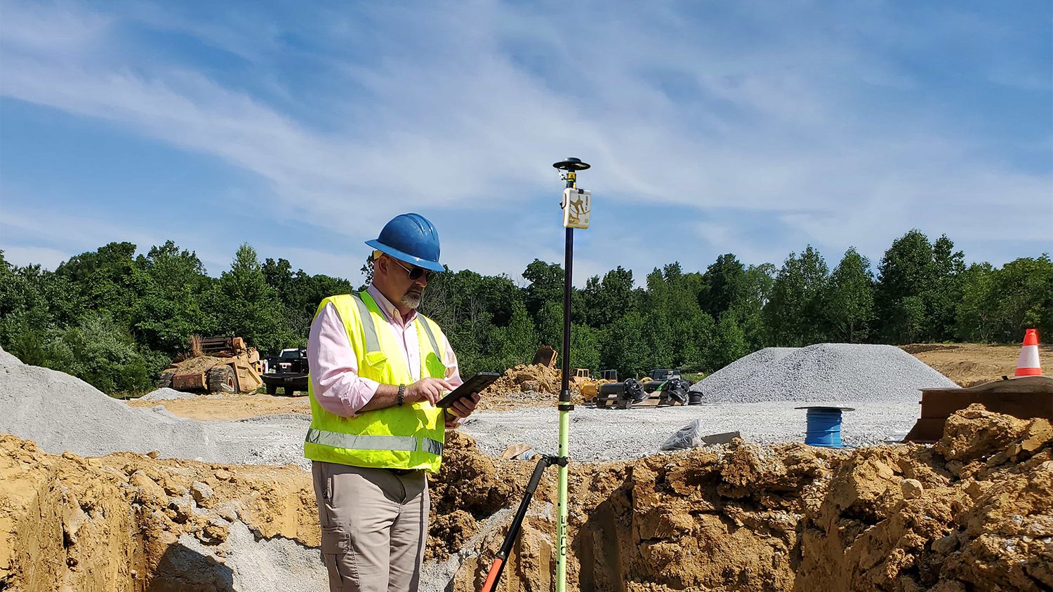
As a GIS Specialist at Colliers Engineering & Design, Amanda Paton understands clients' needs, collects GIS data, and analyzes it to make sure needs are met.
Using an Arrow 100 GNSS receiver and Esri's ArcGIS, Brian Tucker helps protect Hawaii's most abundant native tree from a fungal pathogen.
Environmental Solutions & Innovations switched to Ecobot app and Arrow GNSS to replace a slow and cumbersome legacy mobile mapping solution.
In this webinar, Esri, OHM Advisors and Eos explore underground utility mapping with Eos Locate™ for ArcGIS®, including a utility case study.
GIS is more than just a job to Ronald Stith Lopez. It's a way to improve people's lives. Learn how Ronald uses GNSS across Peru and Colombia.